UCCE periodically hosts Forestry Applications of GIS trainings. These 1.5-day workshops will offer guided training for participants on data management, cartography, AGOL, and participant-driven topics.
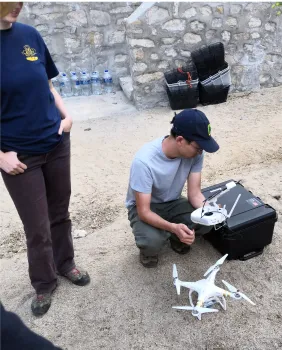
Workshops include a mixture of presentations from GIS specialists and hands on exercises with the ESRI platform. Workshops topics are co-designed with local community colleges to facilitate a hands on learning experience. Participants are also encouraged to bring individual project data, tools, and computers to receive specific assistance from instructors.
Please register for one of the following locations and dates:
- Jan 10th -11, 2024, Feather River College, 570 Golden Eagle Ave, Quincy, CA (FRC Agenda)
- March 19-20, 2024, Sierra College, 5100 Sierra College Blvd, Rocklin, CA, Room V-318 (SC Agenda)
Presentations
Interactive
|  |
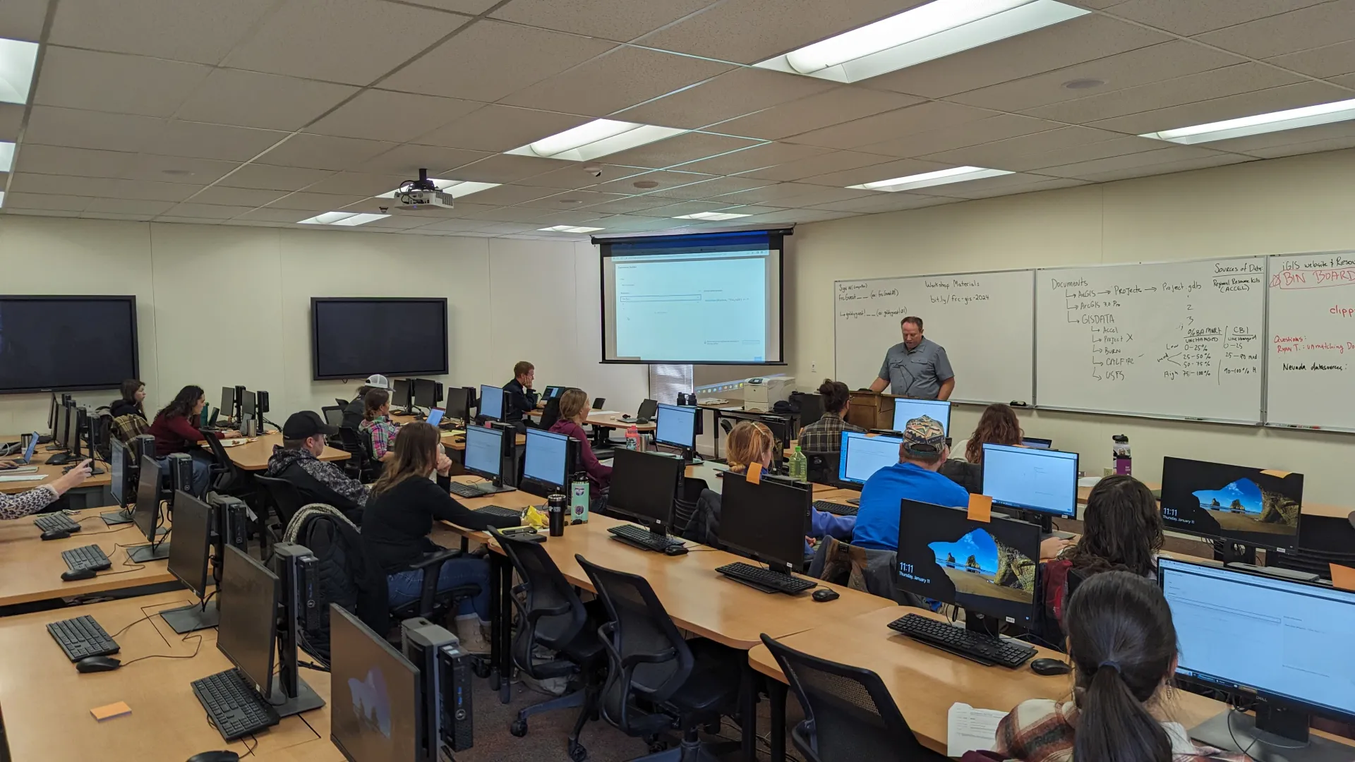 | UCCE collaborates with local partners to host Forestry GIS trainings. Workshops typically offer hands-on training for participants on managing data, best practices in cartography, and spatial analysis. (View past agenda) To request a workshop, contact Ricky Satomi, UCCE Forestry Advisor at 530.822.6213, rpsatomi@ucanr.edu |